Skip to content

The Woolpack

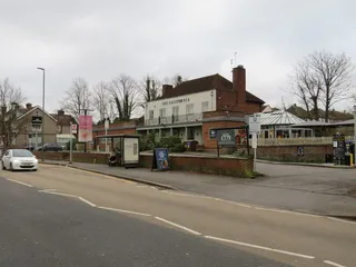
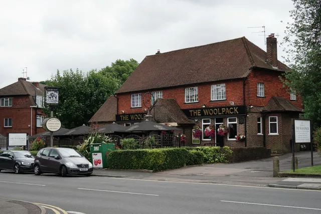
Photo of The Woolpack, Banstead - geograph.org.uk - 5445421
1 of 4 · Photo: Peter Trimming · CC BY-SA 2.0 · via Wikimedia Commons

About The Woolpack

Sits at the eastern end of Banstead High Street. It was built after the previous pub was destroyed in the Second World War.

Written with AI from: Geograph photo "The Woolpack, Banstead" by Peter Trimming (CC BY-SA 2.0), Geograph photo "The Woolpack" by John Barrett (CC BY-SA 2.0). How we write these.

Rate The Woolpack

Checking whether you’re signed in…

Reviews

No reviews yet. Be the first.

Map

Loading the map…

Closest pubs

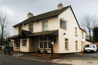
  1. The Mint
    Banstead · SM7 · 810 m · not rated yet
    Score 3.45
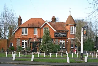
  2. The Woodman
    Chipstead and Woodmansterne · SM7 · 1.7 km · not rated yet
    Score 3.50
  3. The California
    Sutton · SM2 · 2.2 km · not rated yet
    Score 3.45
  4. The Grape Variety
    Chipstead and Woodmansterne · CR5 · 2.3 km · not rated yet
    • Craft beer
    • Food
    • Live music
    Score 3.55
  5. The Midday Sun
    Chipstead and Woodmansterne · CR5 · 2.4 km · not rated yet
    Score 3.40

More pubs nearby

Pub details © OpenStreetMap contributors. Updated 16/11/2026.