The Nags Head
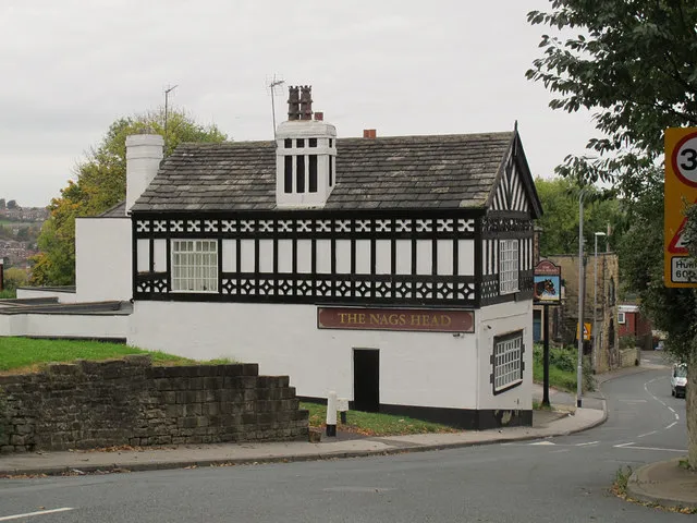
About The Nags Head
This Farnley pub has a mock Elizabethan look and appears on the 1893 Ordnance Survey map. It stands near the top of a steep hill on Stonebridge Lane.
Written with AI from: Geograph photo "The Nag's Head, Farnley" by Stephen Craven (CC BY-SA 2.0), Geograph photo "The Nag's Head, Stonebridge Lane, Farnley" by Humphrey Bolton (CC BY-SA 2.0). How we write these.
Map
Closest pubs
 Score 3.55
 Score 3.55
 Score 3.60
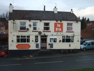 Score 3.55
- Score 3.50
More pubs nearby
Wrong address, opening hours or details? They come from OpenStreetMap, which anyone can improve: edit this pub on OpenStreetMap (view). Changes show here after the next weekly update.
Pub details © OpenStreetMap contributors. Updated 16/11/2026.