Hoddesdon · EN10 · 2.1 km · not rated yet
- Real ale
- Food
- Beer garden
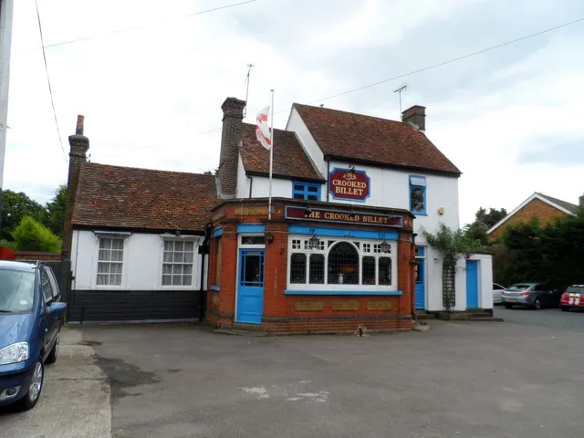
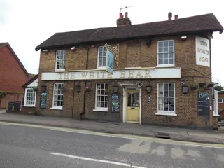
The Crooked Billet is a pub on Middle Street in Lower Nazeing. It was already shown on the 1883 Ordnance Survey map, when the settlement was known as Nazeingbury.
Written with AI from: Geograph photo "Lower Nazeing: The Crooked Billet" by Nigel Cox (CC BY-SA 2.0). How we write these.
Wrong address, opening hours or details? They come from OpenStreetMap, which anyone can improve: edit this pub on OpenStreetMap (view). Changes show here after the next weekly update.
Pub details © OpenStreetMap contributors. Updated 16/11/2026.